
Loriga Portugal is the kind of place your nervous system remembers before your mind does.
My mother was born and raised in this village. I spent every holiday here growing up — and now, as an adult, it remains the one place where my body finally releases. The moment the granite cliffs come into view and the air turns cooler, something shifts. The tension of daily life, the noise, the pace — it all drops away.
They call it the “Portuguese Switzerland,” and the nickname fits. Loriga sits at the base of the Serra da Estrela mountain range, wedged into a dramatic glacial valley. Granite cliffs rise on both sides. Terraced fields climb the slopes. And at the center of the village, the Praia Fluvial de Loriga — a crystal-clear river beach — draws people from across Portugal and beyond.
I almost did not write this guide.
Loriga is a paradise, and part of me wants to keep it that way. But the PR5 hike — the trail that threads through the glacial valley from the village to the highest point in mainland Portugal — is too extraordinary not to share. I have walked it at different stages of my life: as a teenager with my dad, as a young adult with friends, and now as someone who returns to reset.
This is not a neutral trail guide. This is what the PR5 SEI actually feels like — and how to survive it.
The Cherry Tree and the Bad Weather
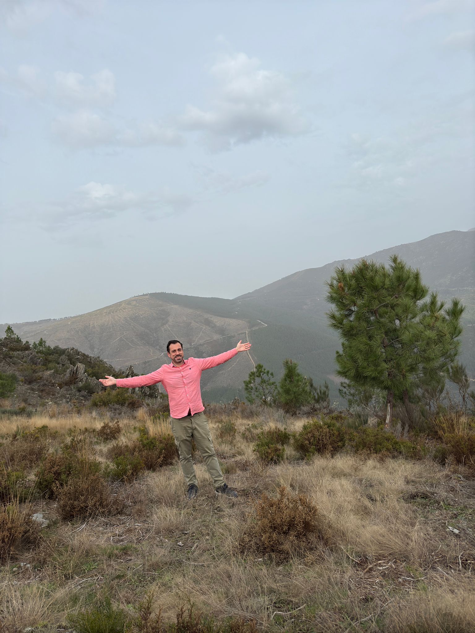
In my younger years, you could disappear into the mountains around Loriga. Wild camping was still possible, and during one trip, we pitched a tent underneath a cherry tree.
Then the bad weather rolled in.
Cherries started pelting the tent, rapid and heavy. In the dark, half-asleep, it sounded exactly like someone throwing stones. I remember lying there, heart pounding, before realizing what was actually happening. It is the kind of sensory memory that stays sharp decades later — the sound, the confusion, the eventual laughter.
Loriga felt like a place you could truly vanish into back then.
That has shifted. The river beach has been recognized as one of the most beautiful natural beaches in Portugal, and today people come from all over the world — mostly Portuguese, especially during high season. Tourism has not made the village a better place to be. The intimacy has thinned.
If you visit, come when tourism is low. Late spring or autumn. You will feel the difference.
The Trail That Shaped Me: Hiking PR5 SEI to Torre
On several occasions and across several stages of my life, I have hiked the PR5 SEI — the Rota da Garganta de Loriga. The first time was with my dad.
I was younger. We ascended from Loriga to Torre together, and it was never framed as a fitness achievement. It was father-and-son time — conversation broken by stretches of heavy breathing, the shared rhythm of two people climbing the same gradient. Years later, I ascended again with friends and descended with others. The same rocks, the same trail, decades apart.
Tackling Loriga to Torre and back in a single day is one of the most demanding, rewarding, and visually striking high-mountain hikes in mainland Portugal. Here is what you are signing up for.
PR5 SEI — Rota da Garganta de Loriga: The Numbers
The main route connects Loriga directly to Torre, ascending through the ancient glacial valley.
- Type: Out-and-back (linear)
- One-way distance: ~9 km to 11 km
- Total out-and-back distance: ~18 km to 22 km
- Elevation gain: ~1,200m to 1,250m ascent, plus the same descent back down
- Estimated time: 8 to 10 hours round trip
- Technical difficulty: High — you need strong physical endurance, sure-footedness, and mountain experience
The Route: Four Giant Steps Up the Mountain
The trail climbs through four distinct glacial depressions — covões — that form natural steps up the mountain.
You start in Loriga village at roughly 770 meters, climbing steep dirt and stone paths originally cut by local shepherds.
The first two covões — Covão da Areia and Covão da Nave — are high-altitude pastures. White heather spreads across the ground. Juniper bushes cling to the slopes. Granite boulders the size of small houses sit scattered as if dropped from above.
Then comes Covão do Meio, home to a reservoir dam fed by mountain runoff. The engineering highlight here is the 2-kilometer underground drainage tunnel that channels water toward Lagoa Comprida — a detail that reminds you this landscape has been shaped by human hands as well as ice.
Covão do Boeiro is the final amphitheater. The walls close in, and ahead of you is the last steep push to the plateau.
At the top: Torre, at 1,993 meters — the summit plateau and the highest point in mainland Portugal. The air is thinner. The temperature can drop sharply. And on a clear day, the view stretches across the Serra da Estrela in every direction.
Unprepared and Lucky
I was not always prepared for this trail.
Looking back at the hikes I did with local friends, I realize how often I walked it under-equipped. The clearest memory is a descent where I had decided to tackle the trail in an old pair of running shoes. When I reached the bottom of the trail in Loriga, the sole of my right shoe gave out — peeling loose at the exact moment we arrived.
We got lucky. Do not count on luck.
What You Actually Need
Start with sturdy mountain boots. The loose granite scree on the descent punishes anything less, and having walked it in running shoes, I can tell you it is not worth the gamble.
Carry at least 2.5 to 3 liters of water per person. The trail offers zero shade in many sections, and the climb is relentless. Bring layers — the temperature at Torre can be 10°C colder than in Loriga, and Serra da Estrela weather shifts fast, from sunshine to thick fog or near-freezing conditions above 1,500 meters.
A fully charged phone with offline maps and GPX files is essential. There are sections where the trail markers thin out, and the mountain does not forgive guessing.
Before you set out, stop at the Posto de Turismo de Loriga, located in the village center near Alameda da República. The staff provide printed brochures, GPX files, and up-to-date trail descriptions for PR5 SEI and the surrounding network routes. They can advise on current water levels in the covões, trail erosion, active grazing herds, and — critically — the day’s mountain weather window.
Alternative Routes and the Best Seasons
The full PR5 out-and-back is not your only option. Several variations let you experience the glacial valley at different intensity levels.
If You Want the Views Without the Climb
A popular logistically simpler choice is Torre to Loriga descent-only. Arrange transport or a taxi to Torre at 1,993 meters, then hike downhill only via PR5 into Loriga. This eliminates the 1,200-meter vertical climb while keeping every view. The hike drops to 3.5 to 4.5 hours — a half-day experience instead of a full-day endurance test.
Shorter Local Walks
If you are warming up or traveling with family, two shorter routes are worth knowing:
- Small Cave to Loriga Waterfall Loop: roughly 2.2 kilometers, an easy 45-minute stroll featuring local waterfalls.
- Covão do Curral to Covão do Ferro: approximately 5.1 kilometers, a moderate trail exploring the lower water mirrors.
When to Go
The best seasons are late spring — May and June — when wildflowers bloom and the streams run full, or autumn — September and October. Avoid peak summer mid-days. The exposure is intense, shade is nonexistent above the tree line, and the trail becomes punishing in a way that has nothing to do with fitness.
If You Do Not Have a Car in Portugal
This section is for readers who do not have their own vehicle in Portugal. The trip I described above used a personal car — what follows are practical options for getting to Loriga on your own.
For flights into Portugal, one option is to search through Aviasales. For renting a car from the airport once you land, AutoEurope is one option worth checking.
A compact car handles the mountain roads above Loriga more easily than a large vehicle — the roads are narrow and winding, especially on the ascent toward Torre.
Loriga Portugal may not stay a secret forever — the river beach has already seen to that. But the PR5 trail itself remains quiet. On most days, you will share it with sheep, the wind, and your own breathing. That is exactly the point.
If you enjoyed this, you might also like: Our road trip from Amsterdam to Dubrovnik — another personal journey through Europe by car. For more Portuguese hiking content, look out for upcoming guides to like the Paiva Walkways and the Arouca 516 bridge.
This post contains affiliate links. This means that if you click on a link and decide to make a purchase, I may receive a small commission at no extra cost to you. I only recommend products and services that I personally use and believe add genuine value to your journey toward building a business on your own terms.